If Global Conflict Escalated, Which U.S. Regions Could Face Greater Risk?
As international tensions frequently dominate headlines, many Americans find themselves asking a difficult question: if a major global conflict were ever to erupt, which regions of the United States might face higher levels of risk?
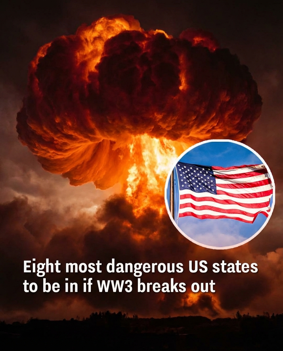
It is important to begin with a clear point — there is no confirmed global war underway. However, defense experts and national security researchers regularly conduct strategic simulations to study worst-case scenarios. These exercises are not predictions of future events. Instead, they are preparedness models used to analyze how geography, infrastructure, and military assets could affect vulnerability during extreme situations.
Strategic Infrastructure and Target Modeling
One factor frequently examined in these simulations is the location of major military infrastructure, particularly intercontinental ballistic missile (ICBM) sites that form part of the United States’ nuclear deterrence system.

Several central U.S. states host these facilities. Because of their strategic importance, theoretical modeling sometimes categorizes nearby areas as higher direct-target risk in a hypothetical nuclear exchange scenario.
States commonly referenced in long-standing defense analyses include:
Montana
Wyoming
Colorado
Nebraska
North Dakota
South Dakota
Iowa
Minnesota
Their appearance in modeling studies is tied strictly to infrastructure placement — not to any immediate threat or current geopolitical event.
Why Geography Alone Doesn’t Determine Safety
Experts consistently emphasize that even in a hypothetical nuclear conflict, the effects would not be confined to a single region. Fallout patterns depend heavily on weather systems, wind direction, terrain, and the overall scale of the event.
Beyond immediate blast zones, broader consequences could include:
Disruptions to power grids
Damage to water systems
Agricultural contamination
Supply chain breakdowns
Long-term economic instability
For that reason, analysts stress that no location would be completely immune in a large-scale nuclear exchange.
Regions Often Modeled as Lower Direct-Target Risk
Conversely, some simulations classify areas with fewer strategic military installations as comparatively lower in direct-target priority. These frequently include portions of the Northeast and Southeast, such as:
Maine
New Hampshire
Vermont
Massachusetts
Rhode Island
Connecticut
New York
New Jersey
Pennsylvania
Delaware
Maryland
Virginia
West Virginia
North Carolina
South Carolina
Georgia
Florida
Alabama
Mississippi

Tennessee
Kentucky
Ohio
Indiana
Michigan
Again, these classifications are relative comparisons, not forecasts.
Preparedness Over Panic
Emergency planning specialists emphasize that conversations about risk modeling are meant to improve resilience, not generate fear. Preparedness depends on many factors beyond geography, including infrastructure strength, emergency response systems, communication networks, and community coordination.
Strategic modeling helps governments and agencies identify vulnerabilities so they can strengthen response capabilities before crises occur.
In a complex and uncertain world, the goal of these discussions is not alarm — but awareness and preparation.